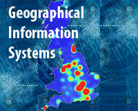
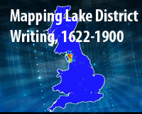
-
The SH Team won the prize to best poster at GISRUK2013. Take a look at it here. -
Summer School Registration is now OPEN! Apply here.
exploring space and time
This five-year project runs from 2012-16, funded by the European Research Council under a Starting Researcher Grant. The project aims to create a step-change in the way that place, space and geography are explored in the humanities. Building on Lancaster's technical expertise in Digital Humanities, Corpus Linguistics and Historical Geographical Information Systems (HGIS) and applied expertise in Lake District literature and social history, the project is developing and applying methodologies to allow unstructured texts - including books, newspapers and official reports - to be analysed in a in a manner that stresses space, place and mapping. More ...
our research

GIS & spatial analysis of texts. We are developing GIS & spatial methodologies for the analysis of texts in literature, history and the humanities. These methods are being piloted with a range of sources including literature, guide books, newspapers and government reports. The techniques developed will be applicable to modern sources including 'born-digital' material and e-resources. More ...

Corpus Linguistics & Collocation Analysis. Corpus Linguistics uses computerised techniques to summarise and analyse large bodies of text known as corpora. One such technique, the study of collocations - co-occurrence patterns among words or categories of words - is central to our approach to spatial analysis of texts. More ...

The English Lake District: Using the techniques developed with GIS we are looking to analyse qualitative sources. We will use these to explore the different ways in which different writers have represented the Lake District and how this has changed though the 18th and 19th centuries. This will provide us with an applied test of our techniques and, more importantly, allow us to illustrate to a wide literary audience how spatial humanities approaches can make a major applied contribution to knowledge in their disciplines. More ...

Health and society in nineteenth and twentieth century England & Wales: We are looking to bridge the quantitative and qualitative divide. We are conducting a study of how English and Welsh society changed through the nineteenth and early twentieth centuries by using GIS to integrate a wide range of sources. In this way we will both give an exemplar of using GIS to integrate data silos and also develop new understandings of the way that socio-economic changes affected mortality patterns. More ...
Looking for learning resources?
In this section you can check out some of the lectures and presentations of the project. We are also working to offer soon other materials such as podcasts and GIS practicals.